ES / EN / VA

Rate this trail

PR-CV 412 GATA DE GORGOS - ALTO DE SERRELLARS - GATA DE GORGOS

Promoter: Ayuntamiento de Gata de Gorgos

Certification status: Conditioned quality control

0 reviews

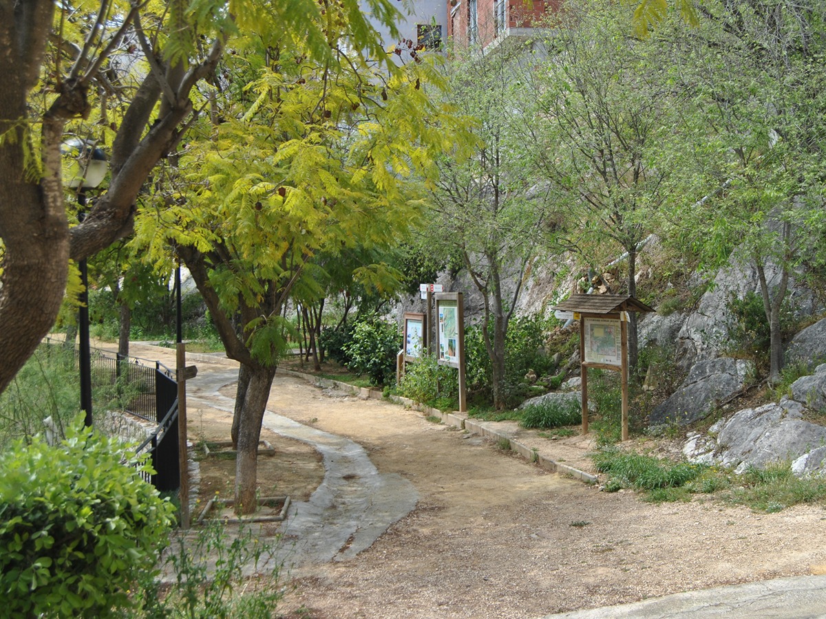
Following the inspection carried out by trail technicians, this trail has been declared of "limited adequacy" as a result of the faults detected in the signage. These include inadequate horizontal signs (paint markers) and/or vertical ones (trailheads and information boards) or lacking direction markers that do not provide sufficient information to properly follow the route. The builder of this trail has been informed of the situation.
For safety reasons and during maintenance work, it is advised to be extremely careful while taking this route. Furthermore, mountain sports entail risks associated with the activity itself and the environment where they take place, for which any person is fully liable. For this reason, hikes need to be planned properly and adequate training, equipment and sensible use of the trails are required.

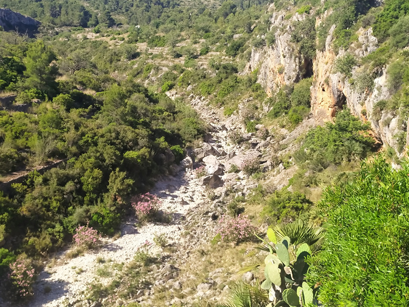
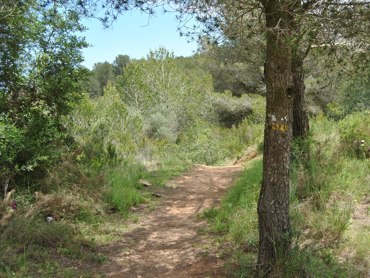
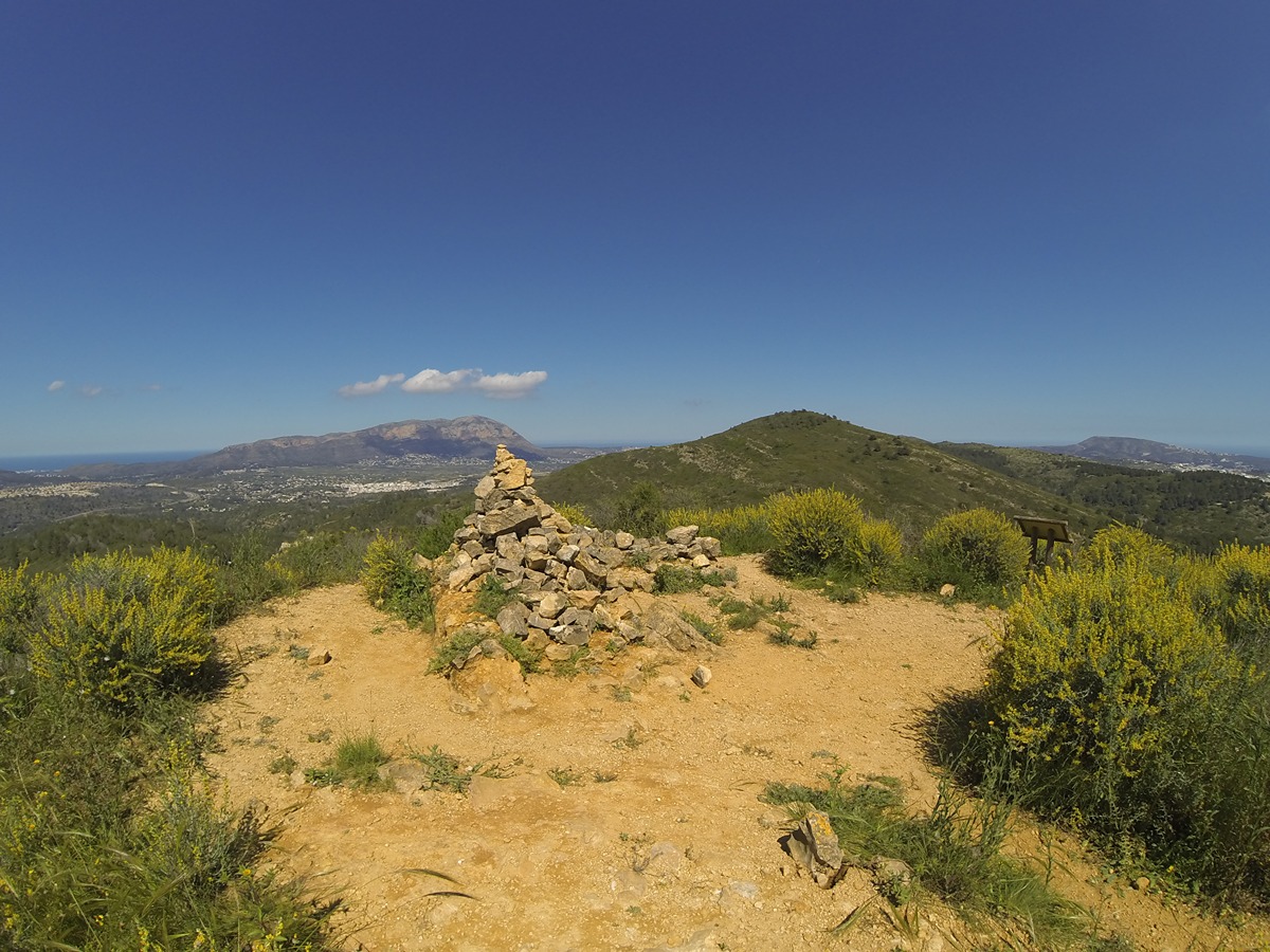
Circular route with an ascent to the Alto de Serrellars from Gata de Gorgos, discovering the natural heritage of the town of Gata and enjoying its magnificent views. An absolute viewpoint of Montgó, Peñón de Ifach, Oltá, and the Bernia mountain range.

Trail:
Loop
Technical data:
Length:
11,90 km
Estimated walking time:
04:25:00
Elevation gain:
695 m
Elevation loss:
695 m
MIDE ratings:
Level of natural risks:
1
Navigation on the trail:
2
Hiking difficulty:
3
Fitness level needed:
3

More information on Montaña Segura

Difficulty rating according to FEDME:
Unknown
Useful information:
Date of certification:
15-01-2011
Date of the last Quality Control:
april de 2025
Reference municipality:
Otros municipios por los que transcurre:
District:
Province:
Alicante/Alacant
Cartography IGN MTN25:
0822; 0822-4

Downloadable from the Catalogue of the IGN Map Library

See other trails of this promoter:
Weather information:
Key points of the route:

Gata de Gorgos – Gorgos River – Casa dels Xaparrundos (estate) – Collado (col). Casa de Canela (estate) - Alto de Serrellars (peak). PR-CV 412.2 connection - Pla del Sobirà (plain) - Camino de les Cel·letes (path) - Puente (bridge) and Gorgos - Gata de Gorgos

Route description (only available in Spanish)

Partiendo desde el parque del Raval por el paso de Raval, seguiremos hasta alcanzar el camino de les Planisses, el cual recorreremos hasta llegar a la bajada al río Gorgos, que cruzaremos. A partir de aquí, comienza un sendero, con algunos tramos en zigzag, que nos llevará hasta la casa dels Xaparrundos.

En el cruce y tomaremos el barranco de Canela, donde encontraremos una bifurcación hacia el PR-CV 412.1 y un interesante horno de cal (calera), antes de llegar a otro cruce que nos conduciría hasta la casa de Canela. Sin embargo, no llegaremos hasta allí. Desde esta bifurcación, tomaremos el cordal hacia la izquierda y ascenderemos con fuerte pendiente hasta la cumbre del alto de Serrellars.

Una vez en la cima, descenderemos hacia el sur, pasando por el mas del Sobirà y el Pla del mismo nombre, donde se dividen varios senderos, como el PR-CV 388. Nuestra ruta continuará hacia el este, cruzando el pla del Sobirà y descendiendo por el azagador de Cel·letes, en algunos tramos con fuerte pendiente, hasta llegar al camino de les Cel·letes.

Desde este punto, tomaremos el camino a la izquierda para adentrarnos en el camino de les Comes. Posteriormente, siempre hacia la derecha, pasaremos por debajo del puente sobre el río Gorgos y entraremos en el parque que lo sigue a lo largo de su cauce.

El parque nos llevará hasta la salida del puente del Grupo Escolar, donde debemos continuar en dirección a la Guardia Civil. Desde allí, bajaremos unas escaleras ligeramente hacia la izquierda, lo que nos llevará de nuevo al parque del Raval.

Downloads:

Beware! Navigation devices may fail, batteries may run out of power and devices may break down. Do not use only electronic means to track your activities in the mountains; they must be used as a complement to the map and compass. Get some proper training and enjoy the mountains.

Alternative routes and routes leading to nearby points of interest

Other trails connecting with this trail