ES / EN / VA

Rate this trail

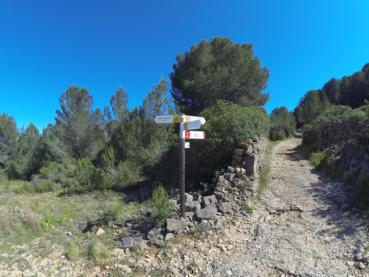
PR-CV 412.2 ALTO DE SERRELLARS - CORRAL DE BORRELL - FUENTE DE LA MATA

Promoter: Ayuntamiento de Gata de Gorgos

Certification status: Positive quality control

1 review

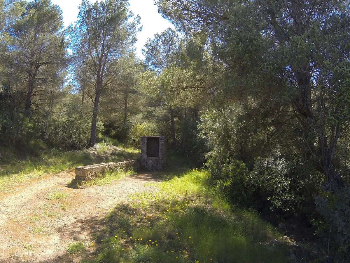
An attractive itinerary, from the Alto de Serrellars to the Fuente de la Mata, which allows us to enjoy the magnificent views of Montgó.

Trail:
One way (point-to-point)
Technical data:
Length:
3,30 km
Estimated walking time:
01:10:00
Elevation gain:
60 m
Elevation loss:
280 m
MIDE ratings:
Level of natural risks:
1
Navigation on the trail:
2
Hiking difficulty:
3
Fitness level needed:
2

More information on Montaña Segura

Difficulty rating according to FEDME:
Unknown
Useful information:
Date of the act of registration in the Public Register:
07-05-2019
Date of the last Quality Control:
april de 2025
Reference municipality:
District:
Province:
Alicante/Alacant
Cartography IGN MTN25:
0822-2

Downloadable from the Catalogue of the IGN Map Library

See other trails of this promoter:
Weather information:
Key points of the route:

Alto de Serrellars (peak) – Corral de Borrell (corral) – Cruce camino de Borrell con camino de la Fuente de la Mata (intersection) – Casa Xaparrundos (estate)

Route description (only available in Spanish)

Desde la misma cumbre del alto de Serrellars, seguimos el cordal en dirección este, siempre por la divisoria. En algunos tramos, el descenso es bastante empinado hasta llegar al corral de Borrel, con un pozo y abrevadero.

Desde este punto, comenzaremos a descender por una pista de tierra que bordea los barrancos en la parte norte de la sierra, hasta llegar al asfalto. Esta pista es el camino del Corral de Borrell, que enlaza con el camino de la Fuente de la Mata.

Para llegar a nuestro destino final, solo tendremos que seguir el camino de la Fuente de la Mata hacia la izquierda (en dirección oeste) hasta alcanzar la casa dels Xaparrundos.

Downloads:

Beware! Navigation devices may fail, batteries may run out of power and devices may break down. Do not use only electronic means to track your activities in the mountains; they must be used as a complement to the map and compass. Get some proper training and enjoy the mountains.

Other trails connecting with this trail