
GR 333 E12 ARGELITA - VALLAT
Promoter: Mancomunidad Espadán Mijares
Certification status: Valid
0 reviews
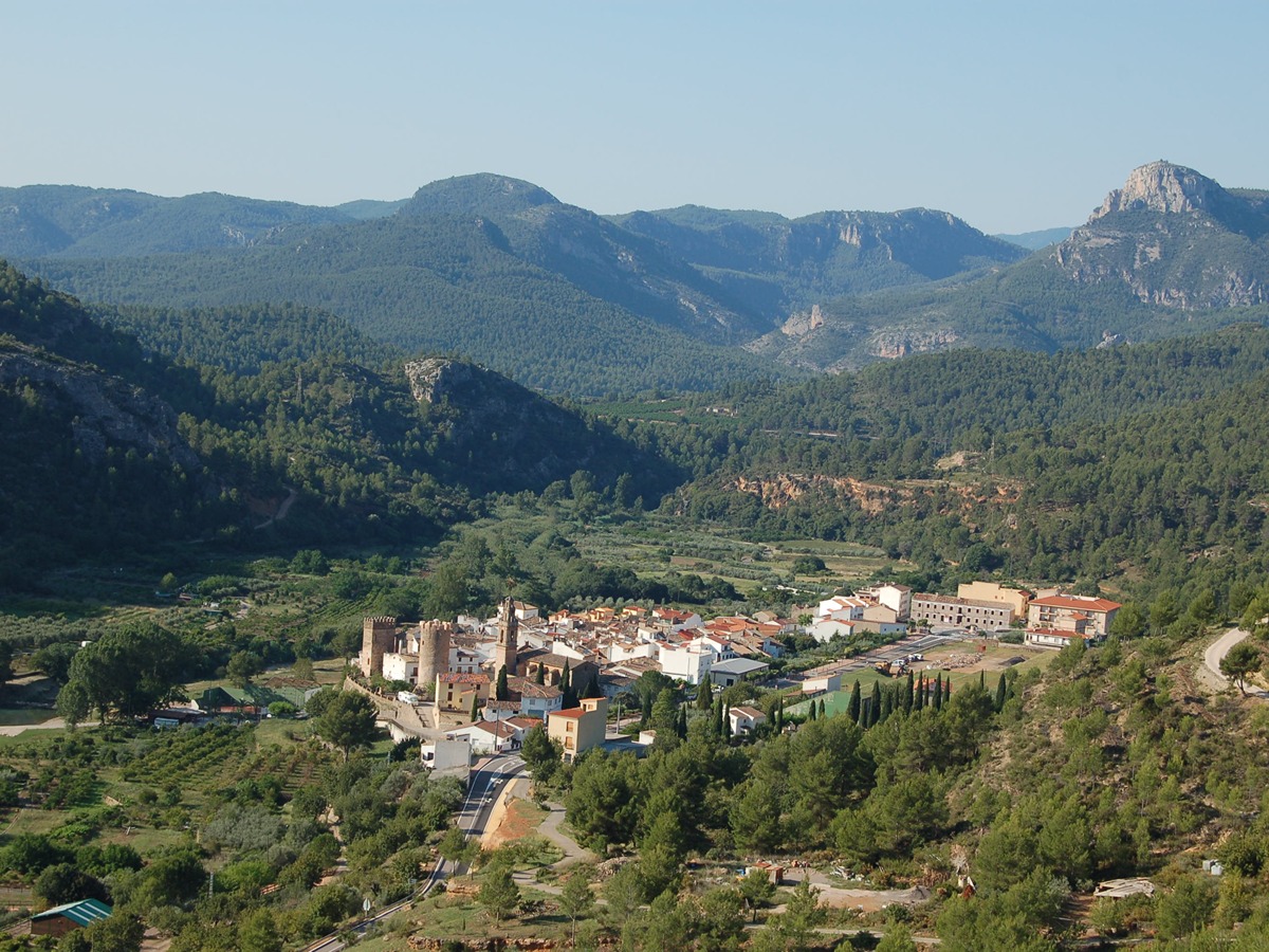
The town centre of Argelita is located in the valley formed by the river Villahermosa, and it is surrounded by high mountains that do not exceed 800 metres. A large part of the municipality is covered by large extensions of woodland where the predominant species are pine and holm oak. The climate is Mediterranean, but cooler and less humid than on the coast.
Trail:
One way (point-to-point)
Main

Reference municipality: Tales
Length: 105,40 km
Estimated walking time: 36:10:00
Elevation gain: 4.650 m
Elevation loss: 5.650 m
(1)
Previos stage
GR 333 E11 TOGA - ARGELITA
Promoter: Mancomunidad Espadán Mijares
Certification status: Valid
Etapa número: 11
Reference municipality: Toga
Length: 3,20 km
Estimated walking time: 01:05:00
Elevation gain: 145 m
Elevation loss: 145 m
(0)
Next stage
GR 333 E13 VALLAT - FANZARA
Promoter: Mancomunidad Espadán Mijares
Certification status: Valid
Etapa número: 13
Reference municipality: Vallat
Length: 7,10 km
Estimated walking time: 02:30:00
Elevation gain: 310 m
Elevation loss: 375 m
(0)
Other trails connecting with this trail
SL-CV 91 SENDA DE LA MUELA
Promoter: Ayuntamiento de Argelita
Certification status: Negative quality control
Reference municipality: Argelita
Length: 3,90 km
Estimated walking time: 01:35:00
Elevation gain: 390 m
Elevation loss: 35 m
(0)