
GR 333 E11 TOGA - ARGELITA
Promoter: Mancomunidad Espadán Mijares
Certification status: Valid
0 reviews
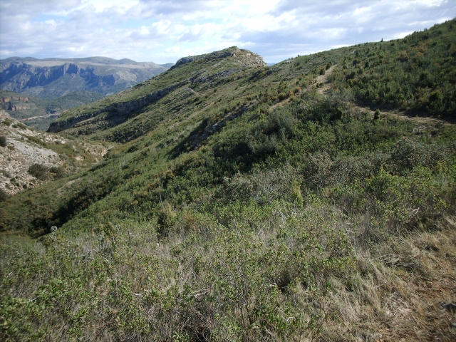
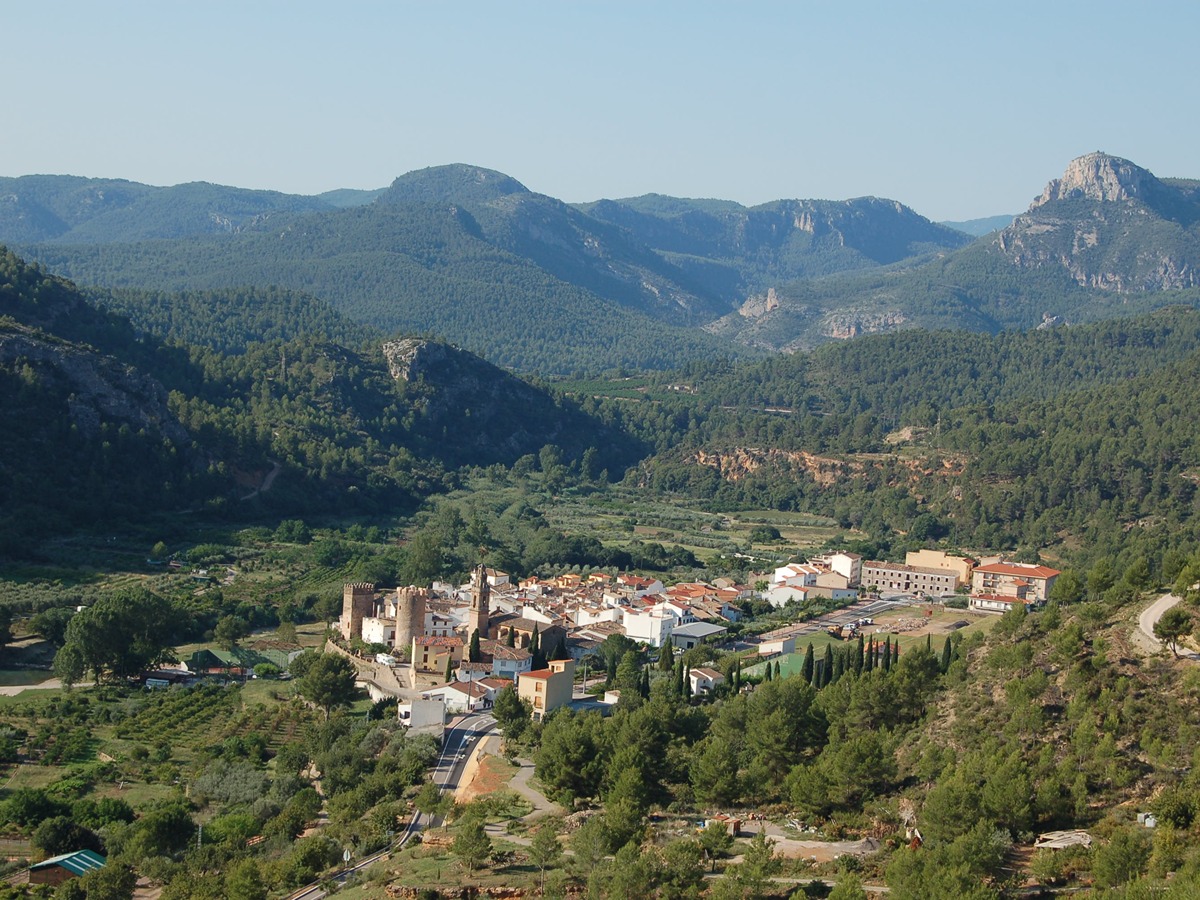
You are in a valley formed by the end of the Sierra de Espadán mountain range and the Peñagolosa massif, on the banks of the river Mijares. A large part of the municipality is covered by large extensions of forest where the predominant species are pines and holm oaks.
Trail:
One way (point-to-point)
Main

Reference municipality: Tales
Length: 105,40 km
Estimated walking time: 36:10:00
Elevation gain: 4.650 m
Elevation loss: 5.650 m
(1)
Previos stage
GR 333 E10 TORRECHIVA - TOGA
Promoter: Mancomunidad Espadán Mijares
Certification status: Valid
Etapa número: 10
Reference municipality: Torrechiva
Length: 3,40 km
Estimated walking time: 01:10:00
Elevation gain: 120 m
Elevation loss: 170 m
(0)
Next stage
GR 333 E12 ARGELITA - VALLAT
Promoter: Mancomunidad Espadán Mijares
Certification status: Valid
Etapa número: 12
Reference municipality: Argelita
Length: 4,70 km
Estimated walking time: 01:40:00
Elevation gain: 250 m
Elevation loss: 255 m
(0)
Other trails connecting with this trail
SL-CV 70 BARRANCO DE VASALL
Promoter: Ayuntamiento de Toga
Certification status: No quality controls
Reference municipality: Toga
Length: 4,70 km
Elevation gain: 440 m
Elevation loss: 30 m
(0)
SL-CV 91 SENDA DE LA MUELA
Promoter: Ayuntamiento de Argelita
Certification status: Negative quality control
Reference municipality: Argelita
Length: 3,90 km
Estimated walking time: 01:35:00
Elevation gain: 390 m
Elevation loss: 35 m
(0)