ES / EN / VA

Rate this trail

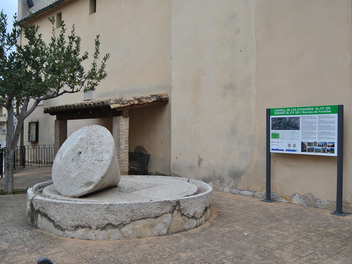
SL-CV 185 SENDER DE LES ATZAVARES

Promoter: Mancomunidad Intermunicipal de La Vall de Laguar y Orba

Certification status: Valid

0 reviews

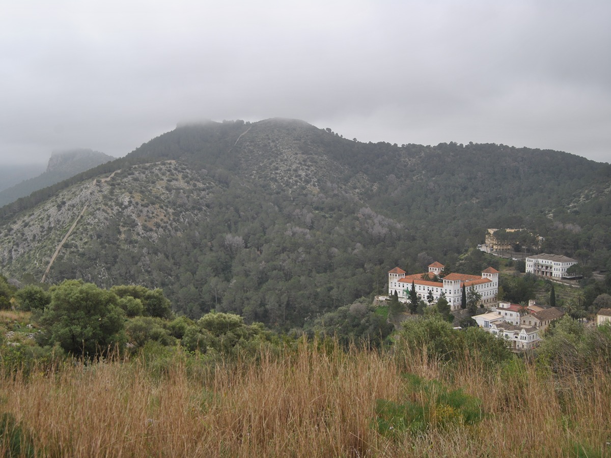
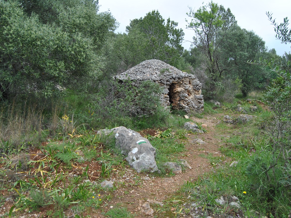
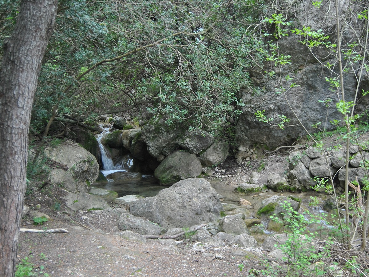
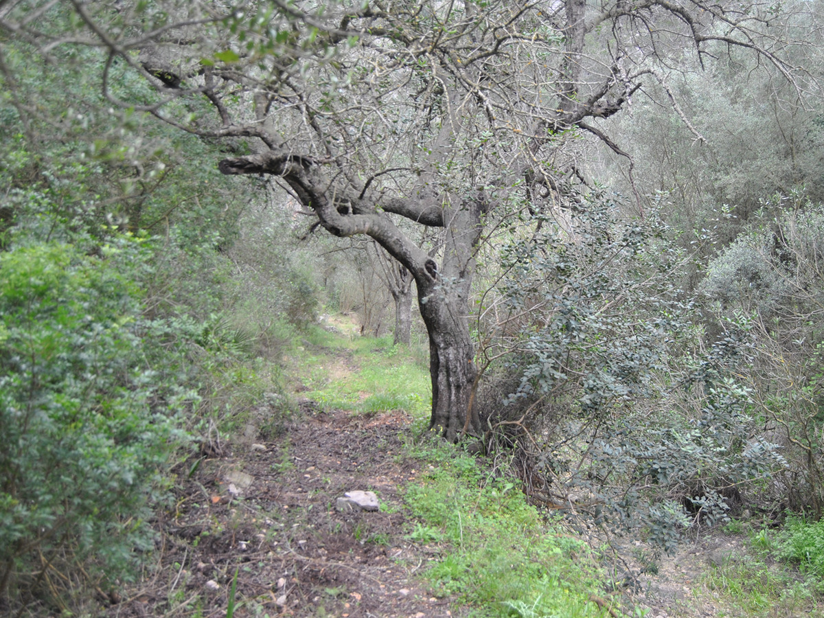
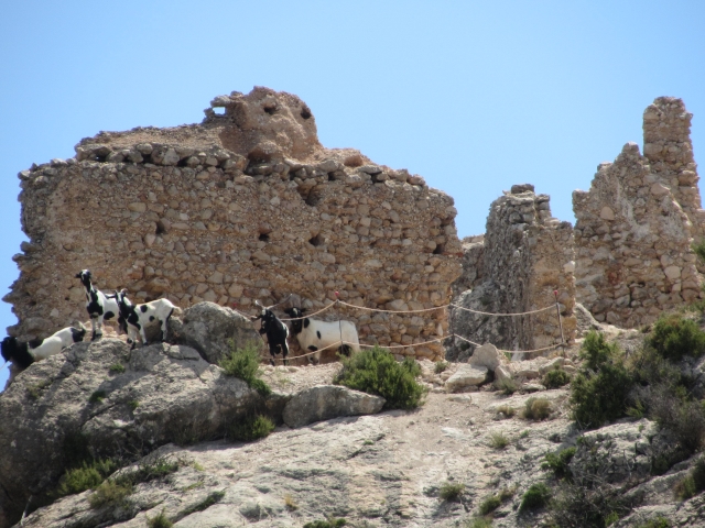
Fantastic route that visits the Fontilles sanatorium, with an impressive history and its large separating wall as a witness. It ascends to the Castellet de les Atzavares, now in ruins, to reach Orba, through the shady side of Castle of Orba.

Trail:
One way (point-to-point)
Technical data:
Length:
8,70 km
Estimated walking time:
03:05:00
Elevation gain:
345 m
Elevation loss:
540 m
MIDE ratings:
Level of natural risks:
2
Navigation on the trail:
2
Hiking difficulty:
2
Fitness level needed:
3

More information on Montaña Segura

Difficulty rating according to FEDME:
Unknown
End Point:
Useful information:
Date of certification:
23-04-2025
Reference municipality:
Otros municipios por los que transcurre:
District:
Province:
Alicante/Alacant
Cartography IGN MTN25:
0822-1

Downloadable from the Catalogue of the IGN Map Library

See other trails of this promoter:
Key points of the route:

Campell – PR-CV 181 connection – Carretera Fontilles (road) – Sanatorio de Fontilles (sanatorium) – PR-CV 181 connection – Castillo de Les Atzavares (Castle) – Área recreativa La Plana (recreational area) – SL-CV 92 connection – Orba

Route description (only available in Spanish)

Partiendo desde Campell, en la Vall de Laguart, nos dirigimos hacia el sur y tomamos un sendero que nos lleva en dirección al barranco del Moro, el cual cruzaremos hasta conectar con el PR-CV 181. Continuamos bordeando la muralla del sanatorio de Fontilles hasta llegar a la puerta de Murla. Tras cruzarla, descendemos hasta la plaza central del sanatorio.

Subimos por la carretera hasta la entrada principal del sanatorio, donde retomamos el PR-CV 181 para descender hasta el barranco de Fontilles, que en ocasiones puede llevar agua. Desde allí, ascendemos por un antiguo camino (actualmente convertido en sendero), dejamos el PR-CV 181 y seguimos hacia el castillo de les Atzavares, ahora en ruinas.

A lo largo del cordal, pasamos por varios refugios de piedra seca, utilizados antaño como abrigo por los agricultores de la zona. Llegamos a la carretera de La Plana y su área recreativa.

Desde el área recreativa, descendemos nuevamente al barranco de Fontilles, pasando por debajo del control de caudal. Continuamos paralelos al barranco, por su lado derecho, en la umbría.

Realizamos una larga travesía hasta enlazar con el SL-CV 92, que abandonamos rápidamente para descender a Orba por el sendero de Les Fonts. Al llegar a la carretera de Orba, seguimos hasta el centro del pueblo, donde concluimos el recorrido en la plaza de España.

Downloads:

Beware! Navigation devices may fail, batteries may run out of power and devices may break down. Do not use only electronic means to track your activities in the mountains; they must be used as a complement to the map and compass. Get some proper training and enjoy the mountains.

Alternative routes and routes leading to nearby points of interest

Other trails connecting with this trail