ES / EN / VA

Rate this trail

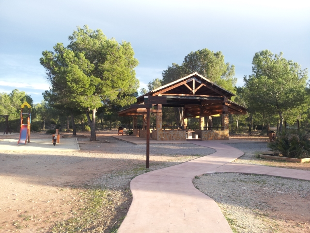
SL-CV 111 PARQUE NATURAL LA MANGUILA

Promoter: Ayuntamiento de la Pobla de Vallbona

Certification status: Positive quality control

0 reviews

A short, flat route that runs entirely through the Manguilla Park.

Trail:
Loop with some overlapping out and back sections
Technical data:
Length:
1,00 km
Estimated walking time:
00:15:00
Elevation gain:
10 m
Elevation loss:
10 m
MIDE ratings:
Level of natural risks:
1
Navigation on the trail:
2
Hiking difficulty:
2
Fitness level needed:
1

More information on Montaña Segura

Difficulty rating according to FEDME:
Unknown
Starting point:
Useful information:
Date of certification:
15-02-2011
Date of the act of registration in the Public Register:
20-10-2015
Date of the last Quality Control:
june de 2022
Reference municipality:
Otros municipios por los que transcurre:
District:
Province:
Valencia/València
Cartography IGN MTN25:
0696-1

Downloadable from the Catalogue of the IGN Map Library

See other trails of this promoter:
Protected Natural Spaces:

We advise you to look up the regulations and/or authorisations for using the trails in these conservation areas on the website of the Conselleria de Medio Ambiente, Agua, Infraestructuras y Territorio

  • La Manguilla (Municipal Natural Site)
Key points of the route:

Parque de La Manguilla (park) - Mojón de término (boundary stone) - Parque de La Manguilla (park)

Route description (only available in Spanish)

El recorrido se inicia a la derecha de los merenderos. Desde aquí continuamos el camino unos 60 metros hasta llegar a la bifurcación donde tomamos el camino de la derecha que continua por zona boscosa y camino bien definido en dirección sur. Unos 350 metros mas adelante nos encontramos con un cruce en el que tomaremos el camino de la derecha hasta llegar a un claro y el hito de termino que linda con Bétera. En una pista más ancha que tomaremos tan solo unos pocos metros siguiendo por un camino mas pequeño a la izquierda de este en dirección norte. Continuando por este mismo camino llegaremos de nuevo a la bifurcación y el área recreativa.

Downloads:

Beware! Navigation devices may fail, batteries may run out of power and devices may break down. Do not use only electronic means to track your activities in the mountains; they must be used as a complement to the map and compass. Get some proper training and enjoy the mountains.