
GR 333 E03 AÍN - ALCÚDIA DE VEO
Promoter: Mancomunidad Espadán Mijares
Certification status: Valid
0 reviews
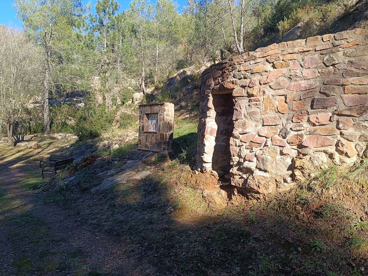
You are in Aín, a municipality located in the Sierra de Espadán Natural Park that preserves its original Muslim charm. The reddish colour of the oak wood in these latitudes allows you to be surrounded by its most notable inhabitant: the cork oak, famous, among other reasons, for the ecological extraction of its raw material: cork.
Trail:
One way (point-to-point)
Main

Reference municipality: Tales
Length: 105,40 km
Estimated walking time: 36:10:00
Elevation gain: 4.650 m
Elevation loss: 5.650 m
(1)
Previos stage
GR 333 E02 SUERAS - AÍN
Promoter: Mancomunidad Espadán Mijares
Certification status: Valid
Etapa número: 2
Reference municipality: Suera/Sueras
Length: 9,30 km
Estimated walking time: 03:20:00
Elevation gain: 555 m
Elevation loss: 375 m
(0)
Next stage
GR 333 E04 ALCÚDIA DE VEO - VILLAMALUR
Promoter: Mancomunidad Espadán Mijares
Certification status: Valid
Etapa número: 4
Reference municipality: Alcudia de Veo
Length: 13,50 km
Estimated walking time: 04:35:00
Elevation gain: 650 m
Elevation loss: 485 m
(0)
Other trails connecting with this trail
SL-CV 27 PASEO DE LA PEÑA PASTOR Y EL GURUGÚ
Promoter: Ayuntamiento de Aín
Certification status: Negative quality control
Reference municipality: Ain
Length: 6,90 km
Estimated walking time: 03:00:00
Elevation gain: 505 m
Elevation loss: 505 m
(0)
SL-CV 28 CAMINO DEL PALOMAR Y BARRANCO DE ESLIDA
Promoter: Ayuntamiento de Aín
Certification status: Negative quality control
Reference municipality: Ain
Length: 4,40 km
Estimated walking time: 01:30:00
Elevation gain: 180 m
Elevation loss: 180 m
(0)
SL-CV 29 EL ENCANTO DEL CALAR
Promoter: Ayuntamiento de Aín
Certification status: Conditioned quality control
Reference municipality: Ain
Length: 4,70 km
Estimated walking time: 01:40:00
Elevation gain: 215 m
Elevation loss: 215 m
(0)
GR 36 SIERRA DE ESPADÁN
Promoter: Parque Natural de la Sierra de Espadán
Certification status: See stages
Reference municipality: Vilavella (La)
Length: 60,10 km
Estimated walking time: 19:20:00
Elevation gain: 2.815 m
Elevation loss: 2.200 m
(1)